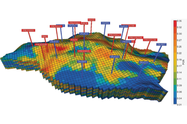
Geonumeric exploration :
Discover the Secrets of Virtual Space
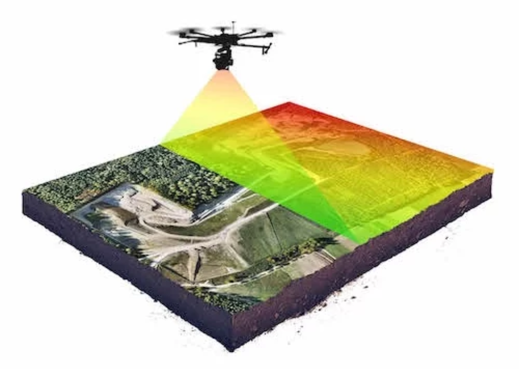
L3G's Géonumérique subsidiary focuses on geomatics, from interactive cartography to 3D modeling, geographic information systems (GIS) and remote sensing, photogrammetry and webmapping. Geomatics, in particular, is a highly developed and rapidly evolving discipline. It integrates new technologies for the collection, analysis, interpretation and dissemination of geospatial data.

This data is essential for fields such as natural resource management, natural risk management, urban planning, precision agriculture and many others.
Thanks to technological advances, this discipline enables us to develop sophisticated tools and methods for better understanding and management of our environment.
L3G's main Geomatics activities
1- Cartography and Geographic Information Systems (GIS)
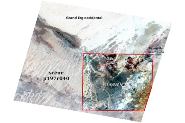
2- Remote sensing and photogrammetry
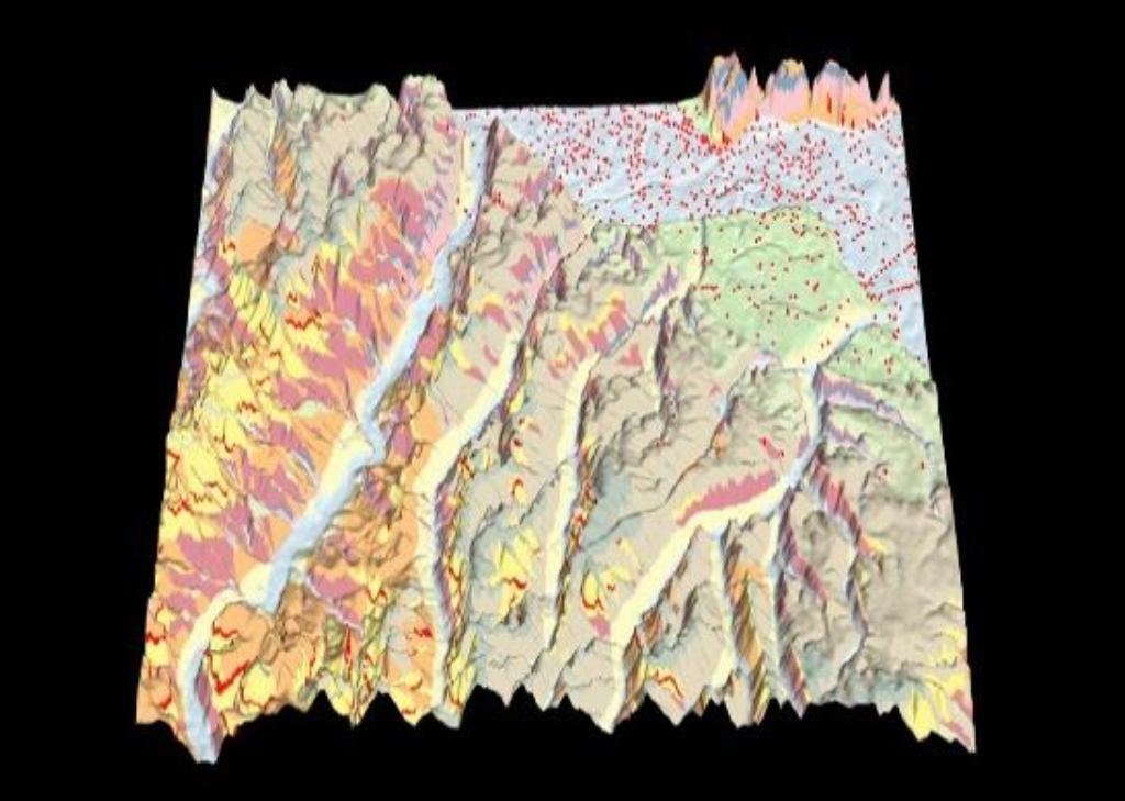
3- 2D/3D Geomodeling and Spatial Analysis
4- Global Positioning Systems (GPS) and Geodesy
5- Applications in Land and Environmental Management
6- Geomatics development and tools: Webmapping
7- Training and dissemination of geomatics knowledge
8- Student supervision
The contribution of geomatics to geology
General Geology:
Geomatics provides essential tools and methods for collecting, managing, analyzing and visualizing geological data. Specific applications include:
- Geological Cartography
- 3D modeling
- Spatial Analysis
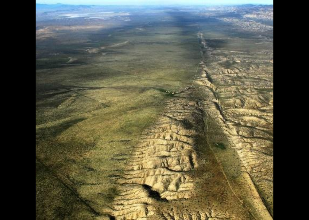
Structural Geology:
- Structural mapping (Lineament)
- Deformation analysis
- Modeling and Simulation
- Multi-Source Data Integration
- 3D modeling
- Spatial Analysis
- Deformation analysis
- Modeling and Simulation
- Multi-Source Data Integration
