Creation and ambitions of the L3G Laboratory
In 2018, the Geodynamics, Geonumerics and Geomaterials Laboratory (L3G) was created under the code LR18ES37, carrying with it the ambition to become a major player in the field of Geosciences research. The laboratory is the fruit of collaboration between fifteen enthusiastic teacher-researchers from various higher education institutions in Tunisia. These researchers, with their varied specialities, found the common thread to create together an environment conducive to the study and exploration of planet Earth. They have engaged a dynamic group of over 40 PhD students in a wide range of futuristic research topics.

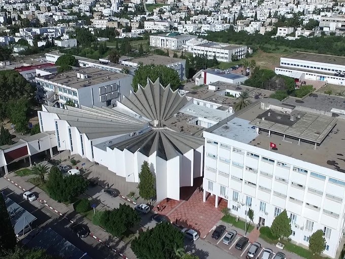
The L3G Laboratory, affiliated to the Geology Department of the Tunis Faculty of Science (University of Tunis El Manar), is part of an inter-institutional network, including members from the Tunis (FST), Bizerte (FSB) and Gafsa (FSG) Faculties of Science, the Institut Supérieur des Etudes Préparatoires en Biologie-Géologie de Soukra and the Faculté des Lettres et des Sciences Humaines de Sousse (FLSHS). This institutional diversity reflects the richness and variety of perspectives within the L3G Laboratory.
The L3G's research activities are spread across five different research programs: (1) Structural Geology and its Fields of Application, (2) Sedimentology of North African Travertines, (3) Contribution of spatial imaging and geostatistical modeling to the understanding of natural environments, (4) Structure and geodynamic evolution of Tunisia and (5) Sustainable Management of Natural Ecosystems for Ecological Transition and Geotechnics of Useful Mineral Substances. These programs, often approached in an interdisciplinary manner, represent the core of the Laboratory's scientific commitment. By combining geodynamics, 3D geological modeling, geochemistry and many other fields, L3G researchers aim for excellence and creativity.

Mission of the L3G Laboratory
Since its creation in 2018, the L3G Laboratory has set itself key missions that guide its research and engagement activities. Our first mission is to train researchers in L3G's various disciplines by providing an environment conducive to learning and innovation, and to promote the specificity of Tunisian geology to the general public worldwide.
This holistic approach is enabling us to gain a foothold in the global Earth Sciences field.
In addition, the L3G laboratory is committed to promoting fruitful national and international collaborations, recognizing that contemporary scientific challenges require multidisciplinary approaches and global cooperation. By working together with partners around the world, we aim to push back the frontiers of knowledge and address the environmental challenges facing our planet.
Fundamental geology
Multi-scale spatial datasets and 1D, 2D and 3D data products are fundamental components of the information provided by national geological surveys. These datasets and products, including well descriptions, geological maps and 3D geomodels, show and explain the geological architecture of the surface and subsurface of the earth's crust.
Model information includes lithologies, lithostratigraphic units, age (of rocks and events), structural elements (e.g. faults and thrusts), geomorphological features, lithotectonic units and more. This type of geological reference information is the indispensable basis for applied geoscientific projects and problem solving.


